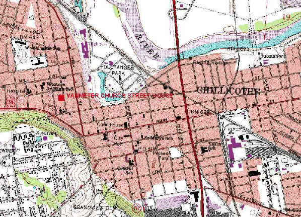
From USGS "Chillicothe East" Topographic Map
Lat: 39° 20´ 10" N
Long: 82° 59´ 12" W
|
|
From USGS "Chillicothe East" Topographic Map
|
|
The material on the site is intended for free personal, non-commercial use. Commercial use of any of the materials presented on these pages is prohibited. Please do not consider any information on this site as a primary source, all data should be verified by you, the researcher. If you encounter any problems or have a question/correction, you can Email me at Scott Van Metre |